Fold Here: The Underground Cartographers Refusing to Let GPS Think for Them
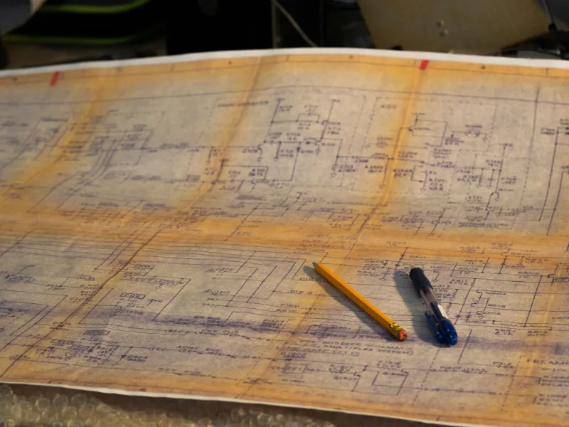
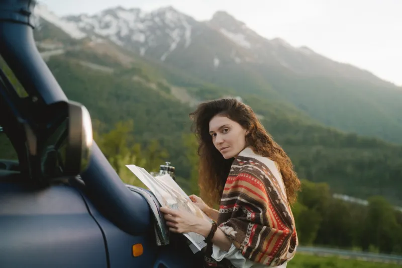
Somewhere in the Cascades, a woman named Priya is unfolding a piece of paper. Not a phone. Not a laminated trail guide from the ranger station. A piece of paper she printed herself, annotated in pencil, with handwritten elevation notes in the margins and a small star marking the spot where someone in an online forum said the water tastes different.
She's been doing this for six years. She doesn't think she's doing anything radical. But in 2025, she kind of is.
The Map Is the Journey
There's a growing — if deliberately low-profile — subculture of Americans who are opting out of navigation-by-algorithm. They're not Luddites. Many of them work in tech. They have smartphones. They just don't want those phones making spatial decisions on their behalf.
The movement, if you can call it that, doesn't have a name or a manifesto. It lives in hiking forums, zine exchanges, Reddit threads that get weirdly philosophical, and the occasional meetup where people trade printed topo sheets like baseball cards. What connects them is a shared belief that the act of physically mapping a route — drawing it, printing it, folding it, carrying it — changes your relationship to a place in ways that turn-by-turn directions simply cannot.
"When you trace a road with your finger before you drive it, you start to notice things," says Marcus, a road tripper based out of Albuquerque who's driven every state highway in New Mexico with a printed atlas riding shotgun. "You see where two routes nearly meet but don't. You wonder why. That question is what makes a trip interesting."
GPS doesn't wonder. It just routes.
What You Miss When the Machine Leads
Here's something cartographers have known for centuries that your navigation app has quietly eroded: the map is a compression of reality, and choosing what to compress is an act of interpretation. When you make your own map — even a rough one — you decide what matters. You decide what gets a label and what doesn't. You're forced to think spatially in a way that following a blue line on a screen never requires.
Research in cognitive science backs this up. Studies on wayfinding have consistently shown that people who navigate without GPS develop stronger spatial memory and a more accurate internal sense of scale. They remember where they've been. They can describe a route to someone else. They don't freeze up when the signal drops.
But the people doing this aren't primarily motivated by neuroscience. They're motivated by something harder to quantify: the feeling that a place means more when you've had to think about it.
Take the urban exploration community in Chicago, where a loose collective of walkers has been printing neighborhood maps and annotating them with historical details, architectural notes, and hyperlocal observations — the corner where a specific mural went up, the alley that cuts three minutes off a walk that Google Maps doesn't know about. They share these maps at a monthly meetup in Logan Square. No app, no platform, no algorithm deciding what's relevant. Just people who know a city and want to pass that knowledge along on paper.
"There's a permanence to it," says one regular attendee who goes by the handle terraintype online. "I have maps from five years ago with notes on them. They're almost like journals. My phone doesn't do that."
The Tools of the Trade
For the analog navigation crowd, the toolkit is surprisingly accessible. USGS topographic maps are free to download and print. CalTopo and Caltopo-adjacent tools let you build custom map layers before you go offline. Some people use waterproof paper. Others laminate. The truly committed hand-draw their maps on graph paper with a mechanical pencil, treating the process as a kind of meditation.
In the Pacific Northwest, there's a small but active community of backpackers who run what they call "map swaps" — events where people bring printed maps of routes they've done, mark them up with personal notes, and trade them with strangers. The result is a map that carries multiple perspectives, like a document that's been collaboratively edited by people who actually showed up.
Road trippers have their own version of this. The American Automobile Association still prints physical maps, and there's a weird nostalgia market for vintage state highway maps, but the more interesting stuff is homemade. People are pulling data from OpenStreetMap, customizing it, printing it at Staples, and building their own travel documents. They note where the good diners are. Where cell service drops. Where the speed traps tend to be.
It's inefficient by every measurable metric. It also forces you to actually know where you're going before you leave.
Intentional Inefficiency as a Feature
There's a broader idea lurking underneath all of this, one that keeps coming up when you talk to people in this world: that some forms of friction are worth preserving.
The convenience economy has spent two decades removing friction from every possible human activity. Navigation was one of the first and most complete victories. You never have to think about where you're going anymore. You just follow the voice.
But friction, it turns out, is where meaning lives. The effort of planning a route — sitting with a map, tracing roads, making decisions — is also the process of building a relationship with a place before you've even arrived. You're not just getting there. You're thinking about there.
Priya, back in the Cascades, puts it plainly: "I've gotten lost with a paper map. I've also gotten lost with my phone. The difference is that when I got lost with the map, I knew where I was lost. I could look around and figure it out. When my phone died, I had no idea. I was just... somewhere."
That distinction — knowing where you're lost versus just being lost — feels like it might be about more than navigation.
Keep the Fold
None of this is a call to throw your phone in a river. It's more of a quiet argument for maintaining a skill that's quietly disappearing, the way cursive disappeared, the way mental arithmetic disappeared. Not because the old way is better in every situation, but because losing the ability entirely changes something about how you move through the world.
The people printing their own maps aren't trying to go back. They're trying to stay capable. They want to arrive somewhere and know, in their bodies and not just their notifications, that they got there.
Fold the map. Notice what's between the lines. That part was always yours.